
 The calendar says October 2023, but an eerily situation is unfolding across parts of B.C. this week. A pattern that was seen October 2020 is about to begin again across B.C.
If you remember, the end of October three years ago featured snow down towards the valley bottom in the Interior, including accumulating snows across a wide swath of highway passes.
Fast-forward to 2023, and an identical situation is unfolding.
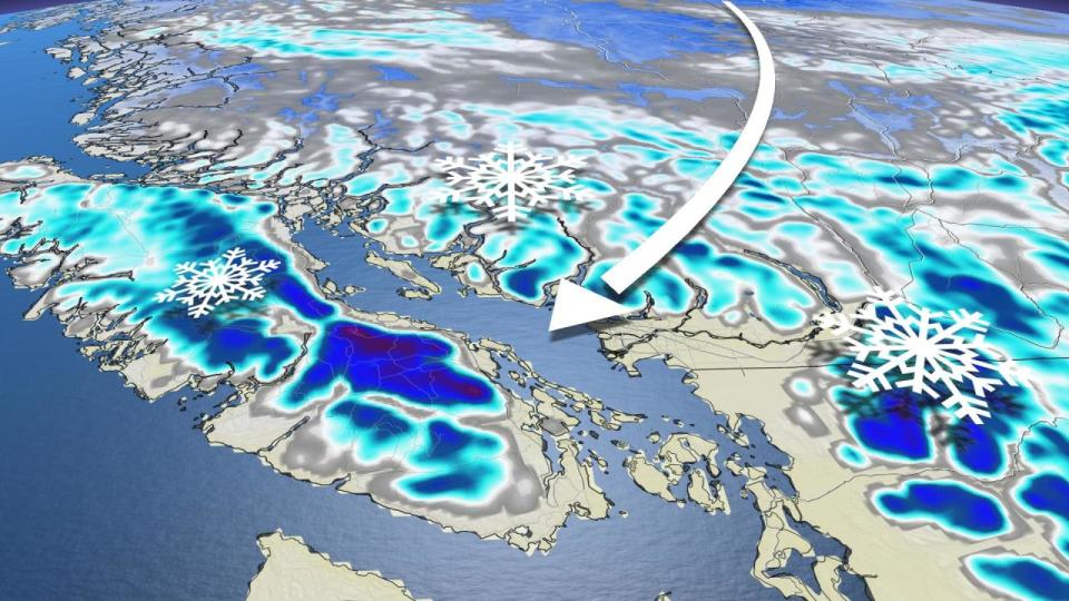
An Arctic front is seeping down over Western Canada, mostly sitting over Alberta and Saskatchewan. B.C., however, will still be getting its fair share of the chilly weather, especially in the northern regions of the province where temperatures in the minus double digits will be felt.

The freezing level at this time of year is typically around 2000 metres but will dip as low as 600-700 metres on Tuesday as the cold upper trough swings through.
Therefore, some of the higher-elevation driving routes along Vancouver Island, including routes extending outside the Lower Mainland, could accumulate some wet snow. This could make the road surfaces slippery, so if you haven’t switched to your winter tires yet, now may be a good time to do so.
SEE ALSO: Picturesque B.C. glacier is undergoing dramatic changes, what it means for us
The snowy conditions will make its way to southern B.C. Monday night and stick around throughout Tuesday and into the overnight.
Close to the border, between Abbotsford and Osoyoos, will see the heaviest snow overnight Tuesday.
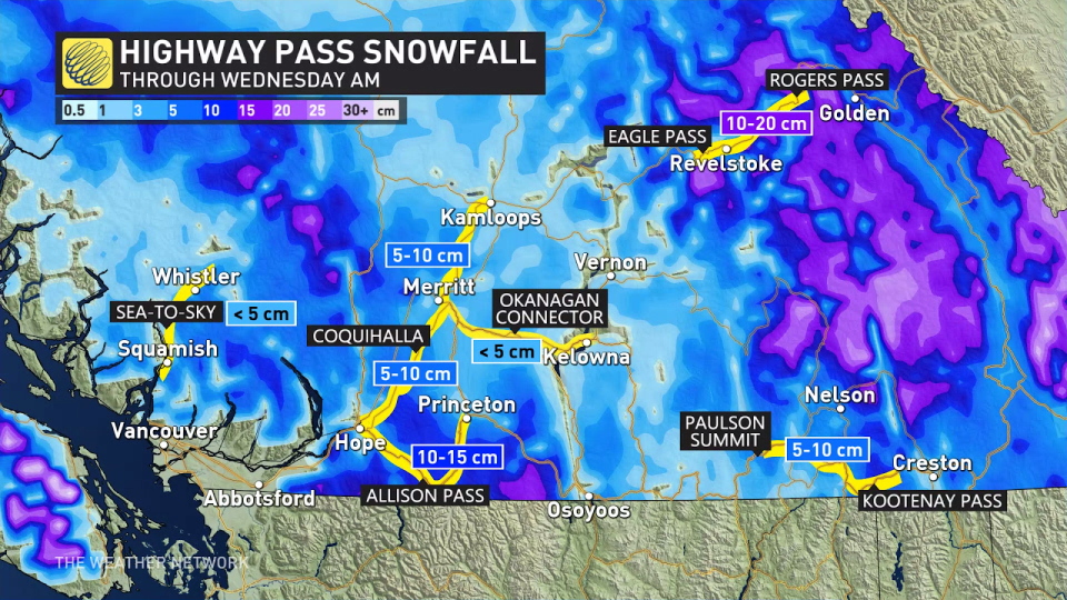 Take caution between Revelstoke and Golden as the area is forecast to receive between 10-20 cm of snow.
DON’T MISS: B.C.’s famous golden larches make mountains sparkle in fall
Heavy rain for parts of the South Coast
Snow won’t be the only form of precipitation in B.C. this week.
Heavy rain is expected near Nanaimo and southwestern Metro Vancouver, with local totals exceeding 50 mm through Wednesday morning.

Showers will then be possible for southern Vancouver Island Thursday, but overall a mostly dry pattern through the end of the week and weekend with colder-than-normal temperatures.
A milder pattern is expected next week, while a potentially wetter pattern could return as we get into the first week of November.
Check back to The Weather Network for more forecast information and updates on your weather in B.C.
WATCH: Vancouver Island’s first taste of snowfall
*****
Credit belongs to : ca.news.yahoo.com


